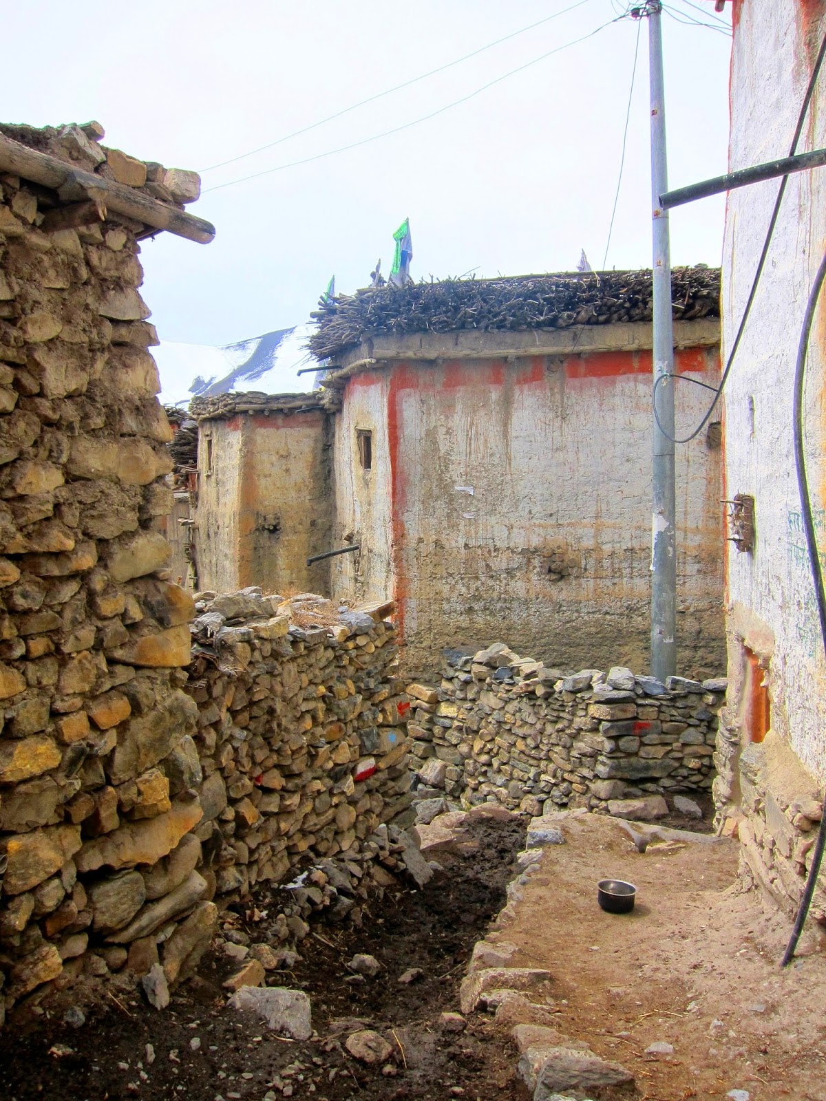
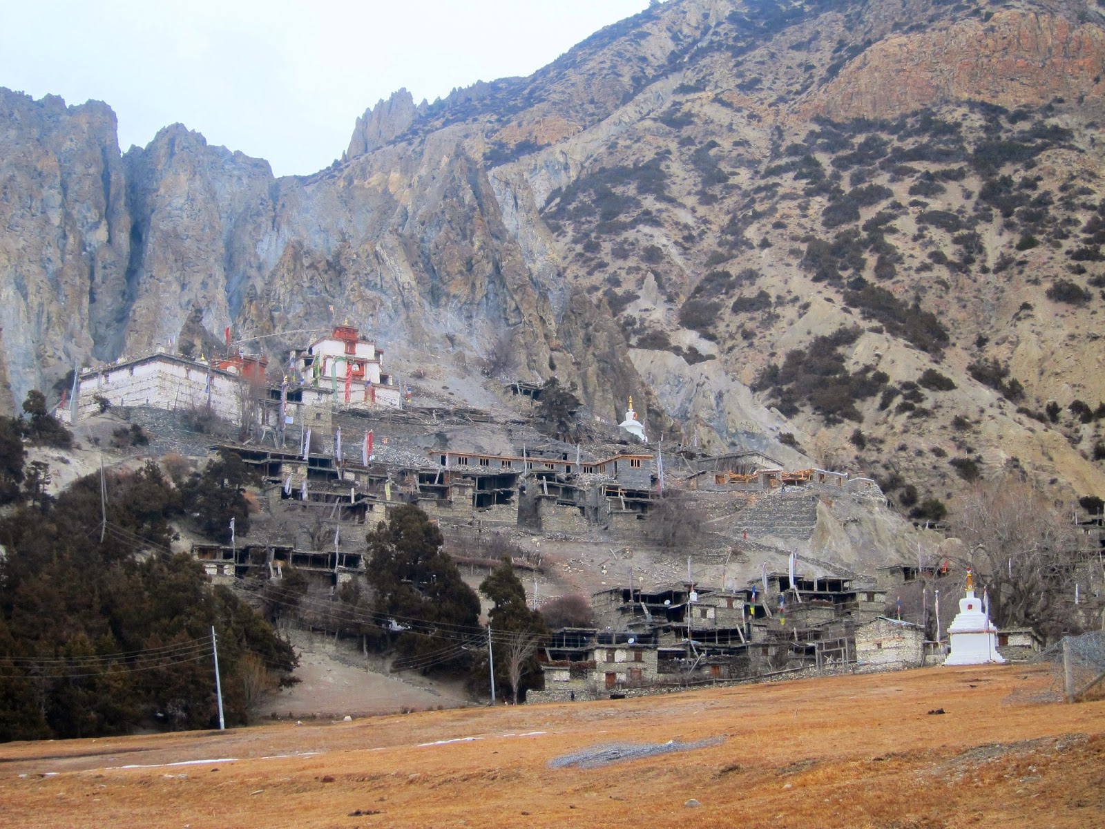
Day 14 – Kokethanti to Kalopani (side trek to Titi Lake)
If I could have done something differently on this day, I
would have stayed another night in Kokethanti or leave my bag in a guesthouse
in Kalopani before taking the side trip to the lake (in reverse).
I wasn’t expecting any grand view at the lake anymore. I
only chose to do it because of the name of the village and the lake – Titi.
(mischievous grin) Well, that’s aside from knowing that I have more than enough
time to spend in the mountains and my guidebook saying that it is highly
recommended ‘as the surroundings nearly look like the Alps with pastures and a
great view on the Nilgiri.’ (It must be right because when my friend from
Europe saw my photos, he said that the view does look like from his home.)
I said goodbye to Nash when we reached the junction. He was
going to Tatopani. He’s been to Nepal six times in the past decade or so and
may be back again in a few years. I hope I could, too.
The road/trail to the lake goes up for about 200m through a
pine forest. A few minutes in and I was tempted to go back because I was
getting bored. I decided to continue since I wouldn’t be able to catch up on
Nash anyway.
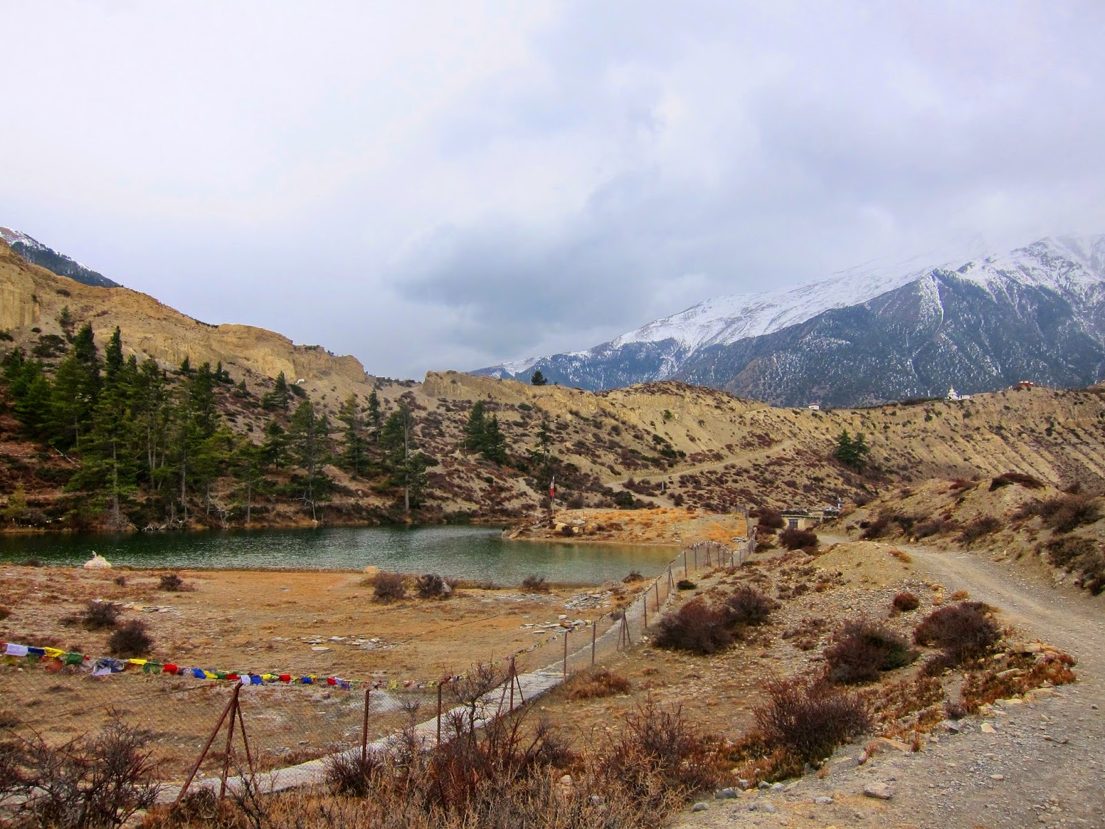
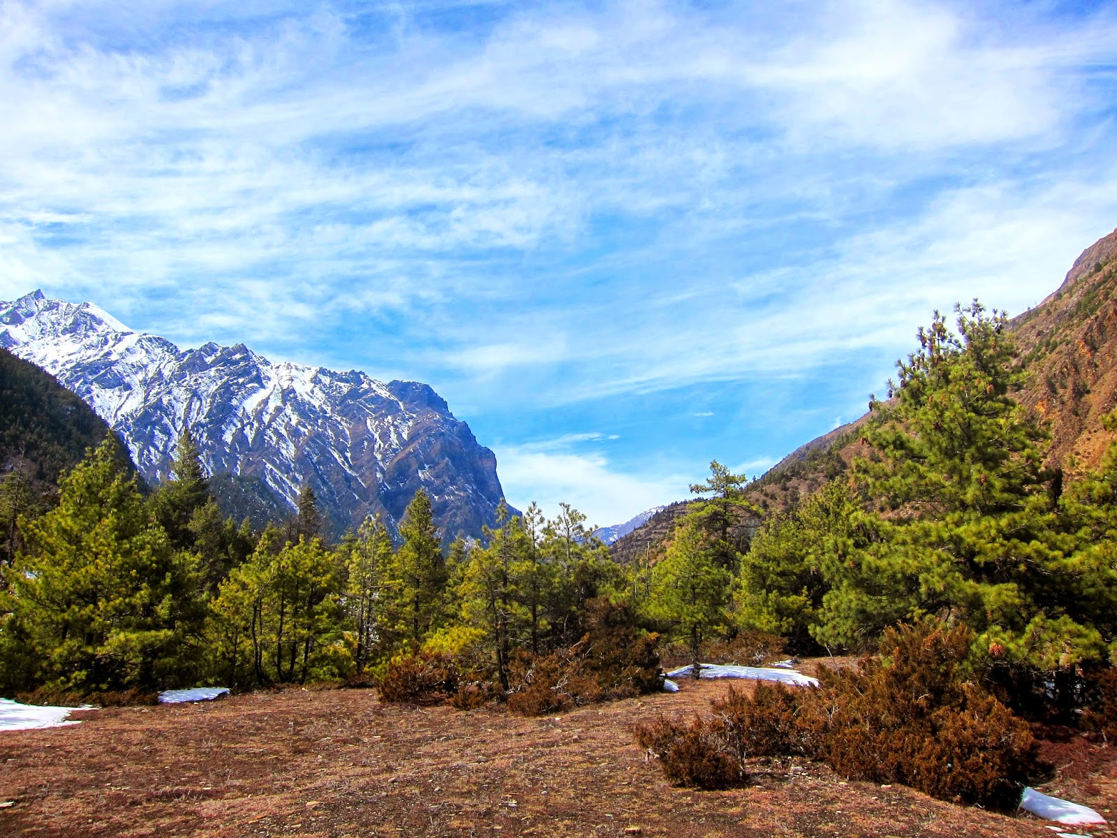
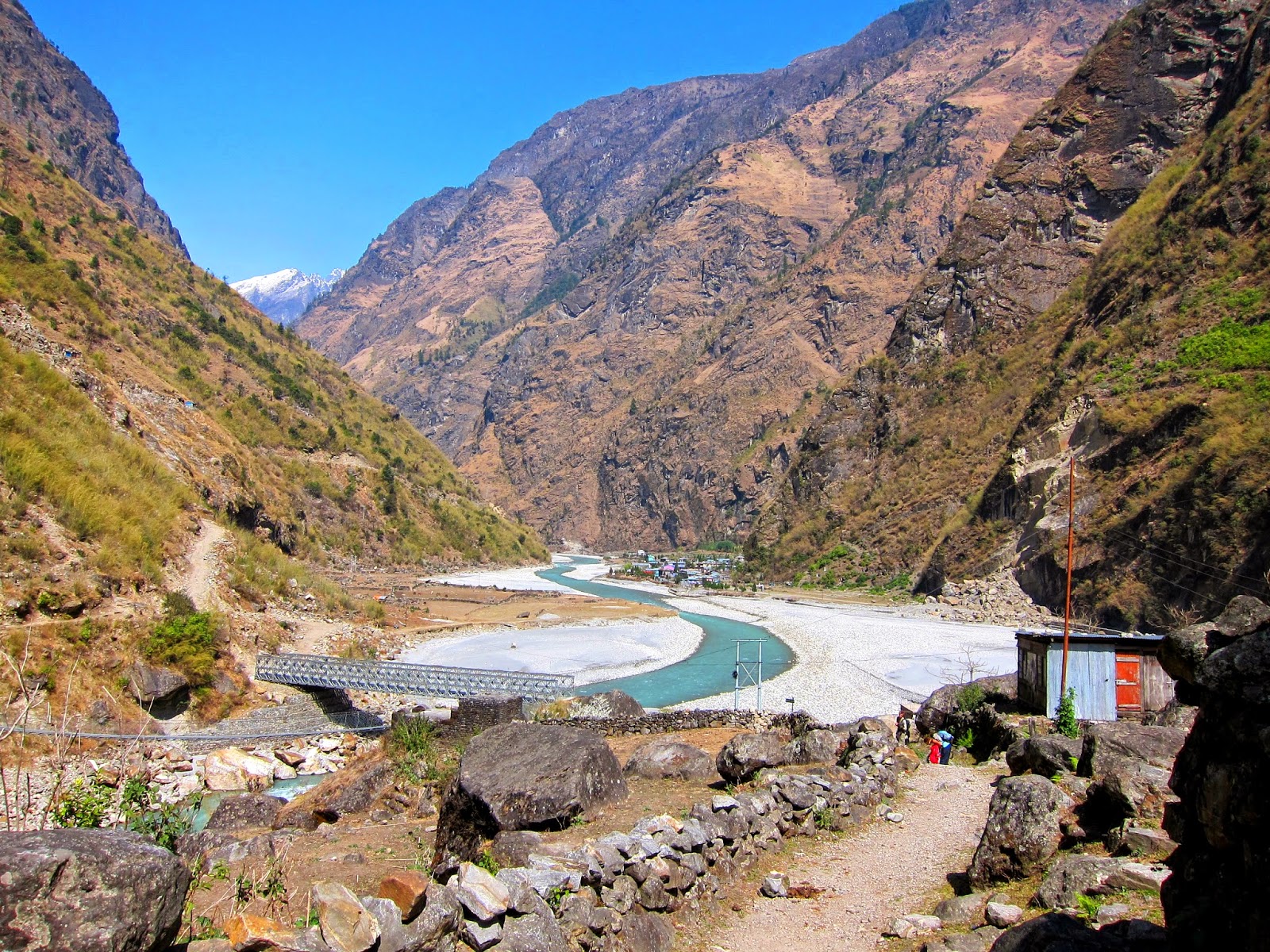
 |
| Titi Lake. |
I reached the village and the lake in 1.5 hours. Well, it
was more beautiful than Dhumba Lake, if I may say. The ACAP signboard states
that Titi Lake is considered a holy lake in the Mustang Region. It is also
possibly the only place in Nepal where breeding activities of certain birds
(mallard and common moor hen) have been confirmed. Then why did they erect the
electric poles in the lake if it was that important?
The way from the village was pretty straightforward and just
follows a road, going through small villages and descends to Chhoyo. I was a
little confused when I reached Chhoyo because a sign pointing to some other
village points to the left. I didn’t know if I had to go there. But a kid told
me to turn right instead. Well, I trusted him.
I could have reached Ghasa that afternoon if only there were any place to eat lunch. But since it still wasn’t the peak trekking season, the few teahouses in the villages weren’t open. And Ghasa was more than 3 hours away. So I just followed the trail to Lete, which was insufficiently marked. I did come across some locals though and thought they could only come from the village I needed to go to.
Unfortunately when I reached Lete, the nearest guesthouses
were close. I was really famished even before I got to the village and I didn’t
like the idea of having to walk another few hundred meters more only to be told
that they weren’t open. I just felt like lying on the road and wait for someone
to carry me to a nice guesthouse. Of course, that was never going to happen. So
I walked.

While having lunch, a bus full of tourists passed. I
wondered what if I hop into one. I probably would have regretted doing so. So
after a few minutes of rest, I continued walking. I passed by a few buildings
and then I noticed that the signs said it was already Kalopani. It’s probably
the only two villages I’ve been too in the circuit which are actual neighbours.
Weird. I chose the guesthouse which my guidebook recommended for having one of
the best dal bhat in the whole Annapurna Circuit. I didn’t order it for dinner
though. I am weird.
Kalopani is one of the very few places in the circuit where
Annapurna 1 (7219m) could be seen and it’s said to be one of the best. But
there was just too much cloud hiding the peaks that whole afternoon. One just
can’t have everything.
Day 15 – Kalopani to Dana
I only planned on going to Ghasa that morning, which was at most
four hours of walk along the trail so I started my day a little late. I left
Kalopani at about half past 9. (Actually, I was also drying my clothes.) I
didn't want to walk on the road so I tried to find the trail which was supposed
to be just parallel to the road. I couldn't find the marks for the trail but
since I was walking between stone walls, I just followed it until I reached the
part where I walked the day before. Apparently, the trail was just for another
10 minutes and it joins the road again. Still, it was a better alternative with
the soft ground, the shade of pine trees and the scent of jasmine.
Well, I was in for a surprise that morning. I saw another
familiar person whom I didn't expect to see because his group didn't cross the
pass the same day we did. I was about to tell him about what happened to us but
he told me that they all knew the story. Okay.. And he told me twice that I was
crazy trekking alone and carrying my backpack which for them seemed too heavy
and too big for me. I was just laughing the whole time.
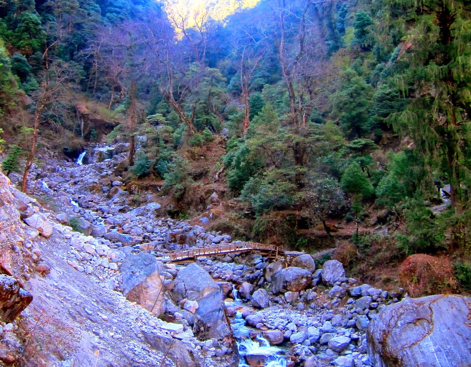
 |
| Ladder? |
I reached Ghasa before noon. Not wanting to spend
a lazy and boring afternoon, I just had lunch in the village and continued
walking. There was an ACAP and TIMS office in Ghasa and while waiting to be
registered, I saw some poster about the Upper Mustang region. An interesting
thing about them is the practice of polyandry, although it is a dying
tradition. Brothers usually marry the same woman in order to avoid splitting of
the land. It says that “a woman with two husbands laughs and a man with wives
cries.” Splendid.
I was okay with taking only the road to Dana because the
trail to Tatopani was supposed to take 8 hours and it was already afternoon.
But after about 30 minutes on the road and upon seeing a bridge to the trail,
the guy I was with wanted to take the trail. I was such a pushover. The trail just goes along the slope and very easy to follow, going through some small villages, with some steep ascents and descents. In one of the villages, I saw a pig; the only pig I have ever seen in Nepal. A local Hindu guy in Ghasa told me that although pork isn't really prohibited, they just don't eat it. In fact, I didn't see pork in any menu. It's either chicken, buff (buffalo meat) or yak.
Growing, buying and selling of marijuana is supposed to be illegal in Nepal. But in one of the villages, (I believe it is near Kopchepani) there were plants growing on the fields along the trail. In fact, I saw an Annapurna Circuit map indicating where there are marijuana fields. In Pokhara, there were people smoking it in a restaurant and nobody seemed to mind. And while walking in Thamel, I was offered marijuana by a street peddler, cautiously though.
 |
| Buffalo on the trail. Stay on the uphill side to avoid being knocked off the edge. |
Since it was getting late, I crossed the bridge to Dana and ended up staying at the last guesthouse in the lower part of the village. The weather there was very pleasant. At 1400m, it wasn't cold anymore. Just a cool breeze. There was a fire in the hills across the river that lasted until late in the evening. I had to ask the guesthouse owner if the fire was a normal thing at that time of the year because no one seemed to be bothered. Well, it was. And besides, a fire wouldn't be able to cross the river, no?
Day 16 and 17 - Dana to Chitre to the village where I caught a jeep
Because the Annapurna Trekking Profile given by ACAP made it look like one could go to Poon Hill from the village of Chitre, I only aimed of making it to the village when I left Dana. I thought the nine-hour hike up to Ghorepani with about 1500m gain of altitude would be too much for me, too.
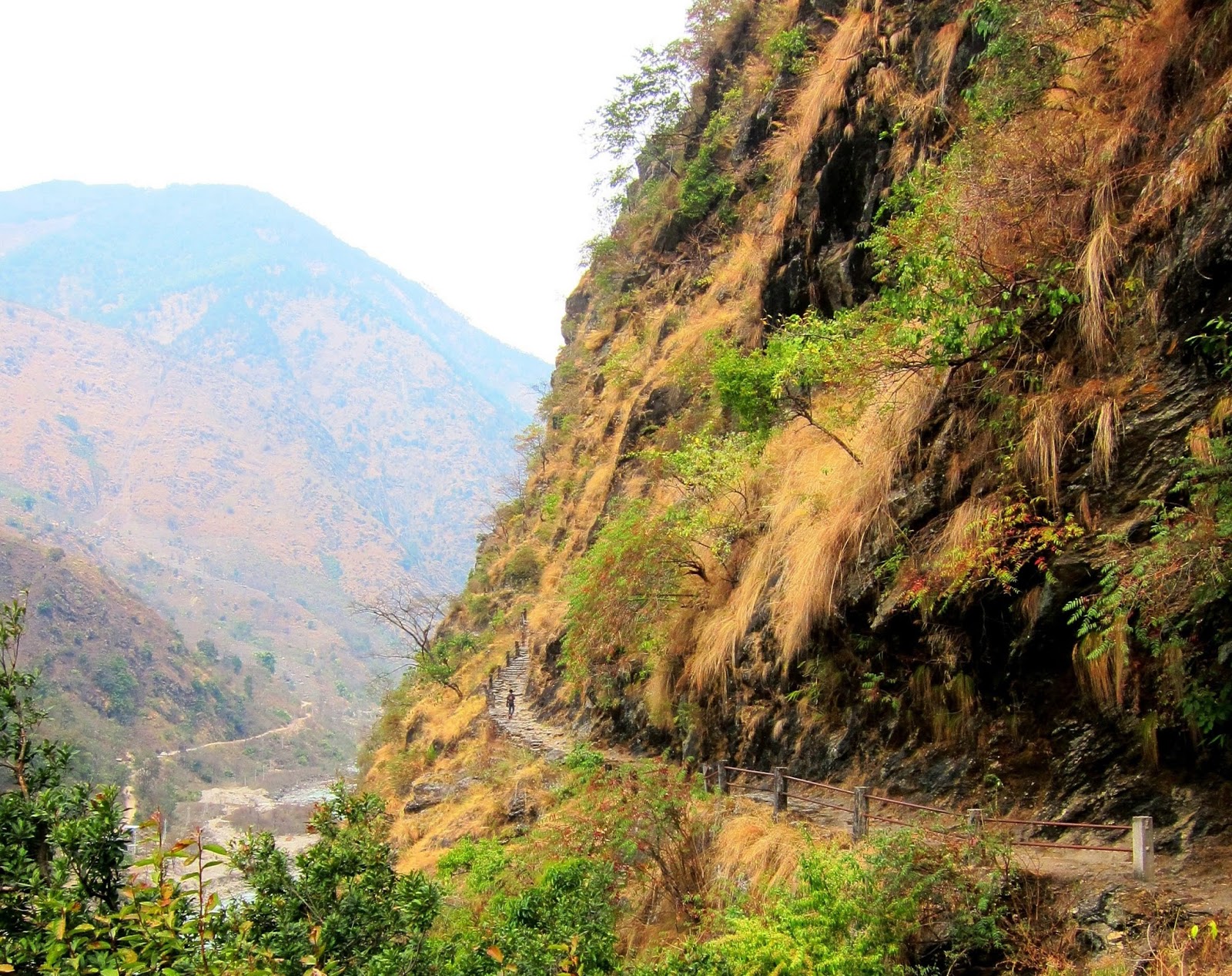
 It's not really enjoyable walking along a very dusty road from Dana to Tatopani. I just didn't want to walk another 1km or so back to the trail, On the road, I saw some men carrying basket as big as them filled with what seemed like kitchen wares. I can't imagine how heavy they were. That's why I try not to complain about my own backpack. And then there were these kids wearing school uniform who kept on asking me for candies, pens or money. Visitors are discouraged from giving them anything because doing so encourages begging. I didn't have anything to give them anyway. I also came across a number of saddhus. I know I shouldn't but I am a little apprehensive about them because of the extreme behaviors they display that I have seen in some travel shows. I greet them though, hoping for some blessings (haha), smile and continue on my way.
The road going up from Tatopani to Ghara was winding so I knew there must be a shortcut. But I couldn't find any trail marks and there were no people to ask. The footprints I was following also kept going on the road so I really had no clue as to where the trail was. Thankfully, a man tending to his farm shouted at me, pointing me to the right direction.
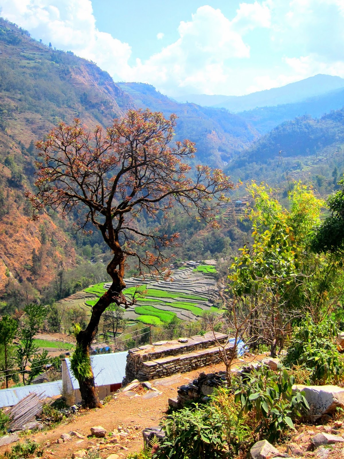
The way up was steep. And very hot. And shades were very rare. The final part of the ascent to Ghara goes by a large rock slide area. But the trail was already repaired so it didn't feel dangerous at all. When I reached the top, I was greeted by a view of rice terraces. I thought of the Philippines. But I haven't been to that part of the country yet. (I know, shame on me.)
I liked the feel of the villages before Ghorepani. The trail goes through most parts of the village and I could observe people going on their daily lives. Unlike some of those in the circuit which seemed like they exist mainly for the trekkers. Or those that felt abandoned because people were nowhere to be seen. In Ghara, there was this man who was getting so frustrated with his buffaloes because they won't move no matter how he pushed them. There was a young mother with her baby getting some sun and older women chatting. And I sat by teenage girls who, judging by their giggles, were definitely talking about boys.
When I reached the ACAP check post in Sikha, I confirmed that there was no way I could get to Poon Hill without going to Ghorepani first. So I had to extend my day. I looked at the list of trekkers who came that day and saw some familiar names. The extra two hours would be worth it. But the weather wasn't on my side. It started raining when I reached Chitre. The sky was so dark I thought it was going to pour. So yeah, no Poon Hill for me. I wouldn't be able to brag that I climbed a hill in Nepal. (I don't know how high a peak should be to be called a mountain in Nepal. But at 3200m, Poon Hill is dwarfed by the 7000-8000m peaks in the Himalayas. Greatness is relative.)
Thankfully, the guesthouse where I stayed in Chitre has an unobstructed view of Dhaulagiri, the seventh highest mountian in the world. I was actually looking at it that afternoon but only realized the next morning that it was Dhaulagiri because of the thick clouds covering the mountains. And since the highlight of going up the hill was to see the sunrise over these mountains, I was already satisfied when I witnessed it from my guesthouse.
I still went up to Ghorepani. One of the highlights of the trail in this area is that it goes through a rhododendron forest. They're supposed to be really beautiful when they are in full bloom. From Ghorepani, it was a knee-breaking, ligament-tearing descent of thousands of steps. I came across hundreds of trekkers, many of them in large organized groups, who were going up. I wasn't sure if I wanted to trade places with them. While they were all panting from the a seemingly endless climb, I was killing my knees descending as fast as I could, sometimes almost running, in order to catch the last bus in Naya Pul. Apparently, it would take seven hours to descend.
On the way down, I made an acquaintance with a guide who took a family to Poon Hill. Unsurprisingly, he also used to work in the Middle East and called me 'pare' when he found out I am Filipino. He told me I could take a jeep at the end of the trail. I was expecting there was some sort of terminal. But there was none and I had to wait when, and if, a jeep passes. I waited a long time before a jeep came. And since I badly wanted to be in Pokhara that night, I agreed to pay 1000 Rupees for them to take me to Naya Pul. I was the only passenger that time anyway. While waiting for the bus, a man offered me taxi service straight to my guesthouse in Pokhara for 1200 Rupees. I thought it was a good deal but I already spent so much for the jeep.
While in the bus to Pokhara, all I could think of was how I could get back to Nepal and do more trekking.
Day 16 and 17 - Dana to Chitre to the village where I caught a jeep
Because the Annapurna Trekking Profile given by ACAP made it look like one could go to Poon Hill from the village of Chitre, I only aimed of making it to the village when I left Dana. I thought the nine-hour hike up to Ghorepani with about 1500m gain of altitude would be too much for me, too.
The road going up from Tatopani to Ghara was winding so I knew there must be a shortcut. But I couldn't find any trail marks and there were no people to ask. The footprints I was following also kept going on the road so I really had no clue as to where the trail was. Thankfully, a man tending to his farm shouted at me, pointing me to the right direction.
The way up was steep. And very hot. And shades were very rare. The final part of the ascent to Ghara goes by a large rock slide area. But the trail was already repaired so it didn't feel dangerous at all. When I reached the top, I was greeted by a view of rice terraces. I thought of the Philippines. But I haven't been to that part of the country yet. (I know, shame on me.)
I liked the feel of the villages before Ghorepani. The trail goes through most parts of the village and I could observe people going on their daily lives. Unlike some of those in the circuit which seemed like they exist mainly for the trekkers. Or those that felt abandoned because people were nowhere to be seen. In Ghara, there was this man who was getting so frustrated with his buffaloes because they won't move no matter how he pushed them. There was a young mother with her baby getting some sun and older women chatting. And I sat by teenage girls who, judging by their giggles, were definitely talking about boys.
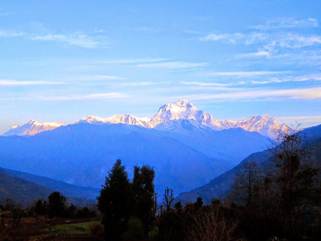 |
| Sunrise over Dhaulagiri. |
Thankfully, the guesthouse where I stayed in Chitre has an unobstructed view of Dhaulagiri, the seventh highest mountian in the world. I was actually looking at it that afternoon but only realized the next morning that it was Dhaulagiri because of the thick clouds covering the mountains. And since the highlight of going up the hill was to see the sunrise over these mountains, I was already satisfied when I witnessed it from my guesthouse.
I still went up to Ghorepani. One of the highlights of the trail in this area is that it goes through a rhododendron forest. They're supposed to be really beautiful when they are in full bloom. From Ghorepani, it was a knee-breaking, ligament-tearing descent of thousands of steps. I came across hundreds of trekkers, many of them in large organized groups, who were going up. I wasn't sure if I wanted to trade places with them. While they were all panting from the a seemingly endless climb, I was killing my knees descending as fast as I could, sometimes almost running, in order to catch the last bus in Naya Pul. Apparently, it would take seven hours to descend.
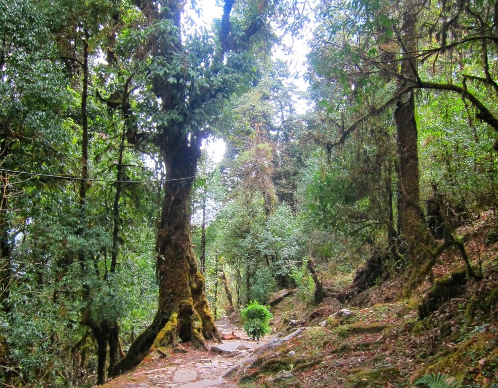 |
| Forest trail on the way down. |
While in the bus to Pokhara, all I could think of was how I could get back to Nepal and do more trekking.